Political contribution deductions require genuine transactions; banking records and party registration alone cannot defeat evidence of accommodation e...
Post-death GST liability permits fresh proceedings against legal representatives, while discontinued-business recovery remains limited to the inherite...
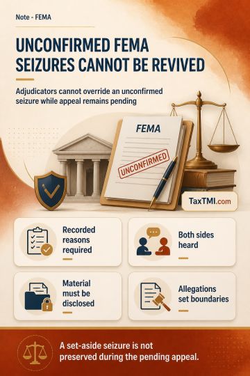
Non-confirmation of FEMA seizure prevents adjudicators from overriding pending appellate findings on recorded reasons and suspected foreign asset hold...
Nature of land sold - agricultural land - distance between two physical points on the surface of earth from local limits of the Municipality - Distance Measurement - The Tribunal observed that the adjudication by the CIT(A) lacked thoroughness as it favored the evidence relied upon by the assessee without adequately addressing the evidence presented by the Revenue. Both parties relied on satellite mapping technology to determine the distance, with conflicting results. The Tribunal emphasized the importance of reconciling the differences in measurements and noted the lack of contemporaneous evidence provided by the assessee during the assessment proceedings. The Tribunal concluded that the matter required a precise measurement and instructed the Assessing Officer (AO) to obtain coordinates from both the subject land and the local limits of the Municipality as of the transfer date.
Nature of land sold - agricultural land - distance between two physical points on the surface of earth from local limits of the Municipality - Distance Measurement - The Tribunal observed that the adjudication by the CIT(A) lacked thoroughness as it favored the evidence relied upon by the assessee without adequately addressing the evidence presented by the Revenue. Both parties relied on satellite mapping technology to determine the distance, with conflicting results. The Tribunal emphasized the importance of reconciling the differences in measurements and noted the lack of contemporaneous evidence provided by the assessee during the assessment proceedings. The Tribunal concluded that the matter required a precise measurement and instructed the Assessing Officer (AO) to obtain coordinates from both the subject land and the local limits of the Municipality as of the transfer date.
Note: It is a system-generated summary and is for quick reference only.
 TaxTMI
 TaxTMI