Login
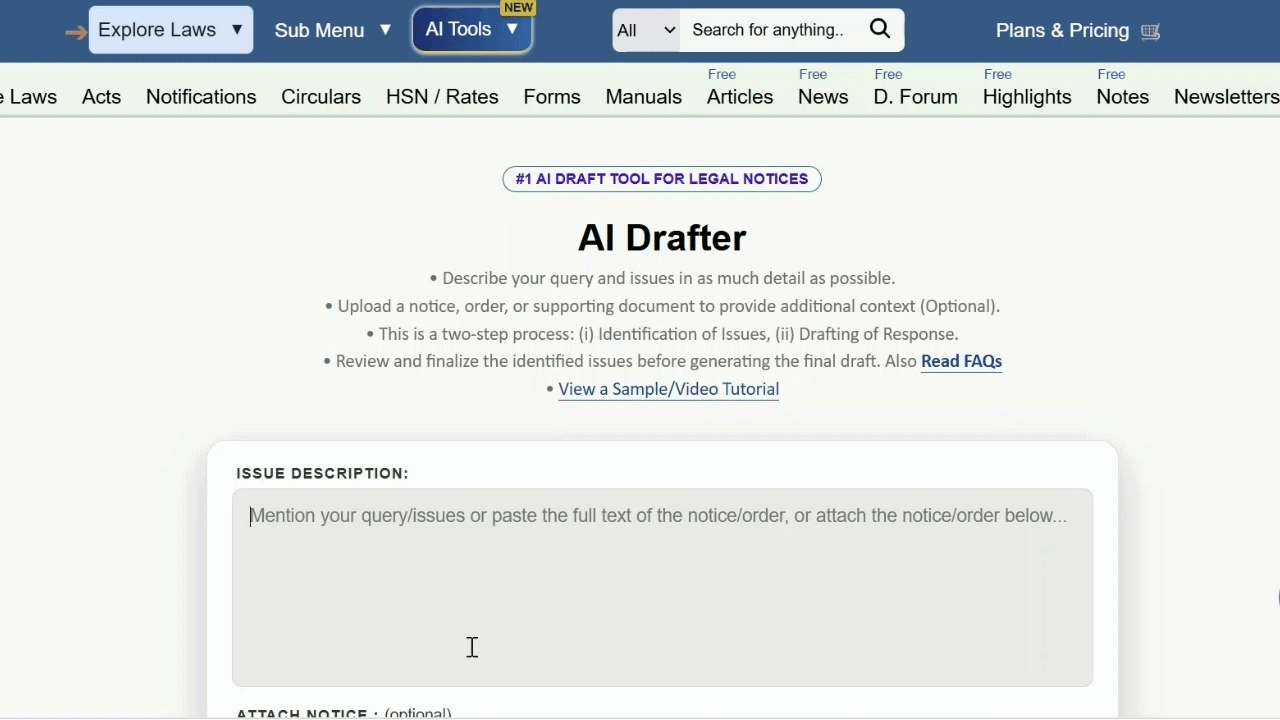 Generate professional replies, appeals, opinions to Show Cause Notices, assessment orders, audit objections, and other legal communications using TaxTMI's AI Drafter.
Just a moment...
Generate professional replies, appeals, opinions to Show Cause Notices, assessment orders, audit objections, and other legal communications using TaxTMI's AI Drafter.
Press 'Enter' to add multiple search terms. Rules for Better Search
Press 'Enter' after typing page number.
Press 'Enter' after typing page number.
No Folders have been created
Are you sure you want to delete "My most important" ?
NOTE:
Press 'Enter' after typing page number.
Press 'Enter' after typing page number.
All News
Press 'Enter' after typing page number.
Press 'Enter' after typing page number.
All News
Note
Bookmark
Share
Don't have an account? Register Here
RURAL LAND RELATED ACTIONS TO FACILITATE CREDIT FLOW AND OTHER AGRICULTURAL SERVICES
LAND RECORDS IN URBAN AREAS TO BE DIGITIZED WITH GIS MAPPING
While presenting the Union Budget 2024-25 in Parliament today, the Union Minister for Finance and Corporate Affairs, Smt. Nirmala Sitharaman said land-related reforms and actions, both in rural and urban areas, will be incentivized for completion within the next 3 years through appropriate fiscal support. The reforms will cover land administration, planning and management, urban planning, usage and building bylaws.
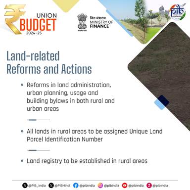
Smt. Sitharaman elaborated that rural land related actions will include assignment of Unique Land Parcel Identification Number (ULPIN) or Bhu-Aadhaar for all lands, digitization of cadastral maps, survey of map sub-divisions as per current ownership, establishment of land registry and linking to the farmers registry. These actions will also facilitate credit flow and other agricultural services.
Regarding urban land related actions, the Finance Minister said that land records in urban areas will be digitized with GIS mapping. An IT based system for property record administration, updating, and tax administration will be established. These will also to facilitate improving the financial position of urban local bodies, she added.
Land reform incentives will establish parcel identification and digitised records to enable credit flow and modern property administration. The fiscal announcement incentivises land sector reforms to be completed within three years: rural actions include assigning a Unique Land Parcel Identification Number, digitising cadastral maps, surveying subdivisions to reflect current ownership, establishing a land registry and linking records to a farmers registry to facilitate credit and agricultural services; urban actions require digitisation of land records with GIS mapping and an IT based system for property record administration, updating and tax administration to improve the financial position of urban local bodies.Press 'Enter' after typing page number.