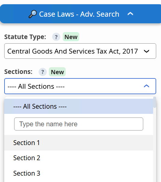
1. Search Case laws by Section / Act / Rule — now available beyond Income Tax. GST and Other Laws Available


2. New: “In Favour Of” filter added in Case Laws.
Try both these filters in Case Laws →
Just a moment...
1. Search Case laws by Section / Act / Rule — now available beyond Income Tax. GST and Other Laws Available


2. New: “In Favour Of” filter added in Case Laws.
Try both these filters in Case Laws →
Press 'Enter' to add multiple search terms. Rules for Better Search
Press 'Enter' after typing page number.
Press 'Enter' after typing page number.
No Folders have been created
Are you sure you want to delete "My most important" ?
NOTE:
Press 'Enter' after typing page number.
Press 'Enter' after typing page number.
Don't have an account? Register Here
Press 'Enter' after typing page number.
<h1>Satellite-based NDVI assessment replaces field surveys to determine crop damage assistance while excluding drought losses.</h1> The State will replace on field surveys with satellite imagery and NDVI based parameters, excluding droughts, to determine eligibility for assistance and for crop insurance assessments. Weekly satellite captures and multiple indices (NDVI, NDWI, VCI, EVI, SAVI) will monitor cultivated areas; a two stage alert triggers preliminary action on specified rainfall patterns and confirms damage when NDVI falls to set thresholds during the assessment window. Designated agricultural research bodies will support analysis and a budget has been allocated for statewide implementation.